Garmin GPSMAP 66i TOPO 1:50 Handheld Device
Description
Explore further confidently with precise navigation and dependable off-grid communication in the rugged GPS Map 66i Handheld Device from Garmin. This all-season navigational unit features integrated two-way satellite communication (Garmin inReach) with pre-loaded TopoActive Europe mapping. The inReach technology allows you to trigger an interactive SOS to GEOS, and enables two-way messaging and location tracking via the 100% global Iridium satellite network, meaning you don't have to rely on phone signal.The unit itself has a rugged outlook which can withstand the demands of outdoor adventures, and the large 3” sunlight-readable colour display for easy viewing. Direct-to-device BirdsEye Satellite Imagery downloads show you the lay of the land around you in great detail, and multiple Global Navigation Satellite Systems (GNSS) support and navigation sensors keep you on the right path and connected.FeaturesAdvanced GPS Handheld Touchscreen UnitLarge 3” sunlight-readable colour display with top buttonsRoutable TopoActive Europe mapsMeets MIL-STD 810 for thermal, shock, water and vibrationClear perspective from BirdsEye Satellite Imagery to see photo-realistic views and create waypoints based on landmarksABC sensors including an altimeter for elevation data, barometer to monitor weather and 3-axis electronic compassActive weather - use cellular connectivity to access up-to-date Active Weather forecasts through the Garmin Connect appMultiple GPS, GLONASS and GALILEO networks extend your exploration zonesTwo-way messaging allows you to exchange text messages, post to social media or communicate from inReach to inReach outdoors (Satellite subscription required)Interactive SOS alerts- can be triggered to GEOS, the Garmin-powered International Emergency Response Coordination Centre (IERCC) with professional 24/7 global monitoringLocation sharing - allows you to track your location and share it with others so they can see your progress100% Global Iridium Satellite Network - transfers messages, tracking and SOS alerts to ensure you don't have to rely on mobile phone coverageInReach weather forecast service - provides detailed weather updates and you can even request forecasts for your current locationActive weather - when paired with a compatible smartphone, you can receive real-time forecast information and live weather radarOptional inReach weather - use inReach connectivity to receive detailed weather updates on the GPS MAP 66i or compatible device paired with the Garmin Explore appIntegrated LED flashlight can also be used as a beacon to signal for helpGarmin Explore App allows you to plan, review and sync waypoints, routes and tracks by using the Garmin Explore app and websiteBattery life: default tracking mode provides up to 35 hours and your device will save your location every 10 minutesExpedition mode: up to 200 hours of battery lifeDimensions: 6.6cm x 16.3cm x 3.5cmDisplay size: 3.8cm x 6.3cm (3” diagonal)Display resolution: 240 x 400 pixelsDisplay type: transflective colour TFTWeight: 241gBattery life: GPS Mode - up to 35 hours Expedition Mode: up to 200 hoursWater rating: IPX7High-sensitivity receiverInterface: High speed micro USB and NMEA 0183 compatibleMemory: 16GB
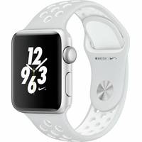
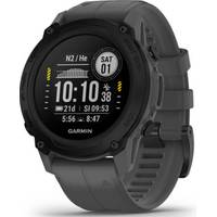
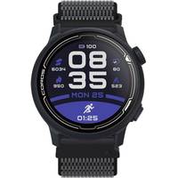
You may also like


loading
Discover more